


Product Details
+
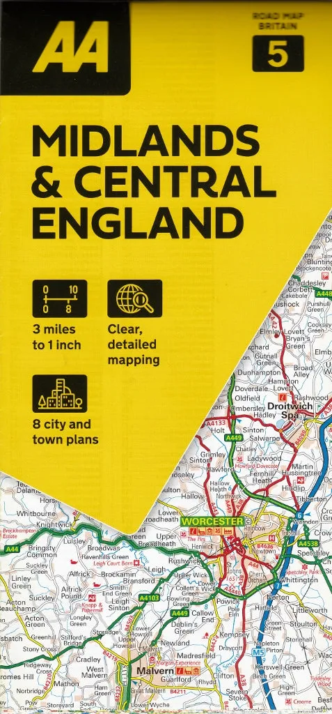
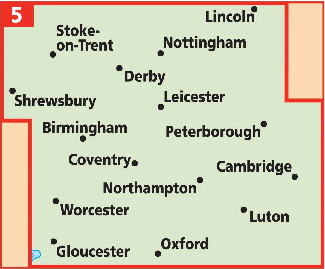
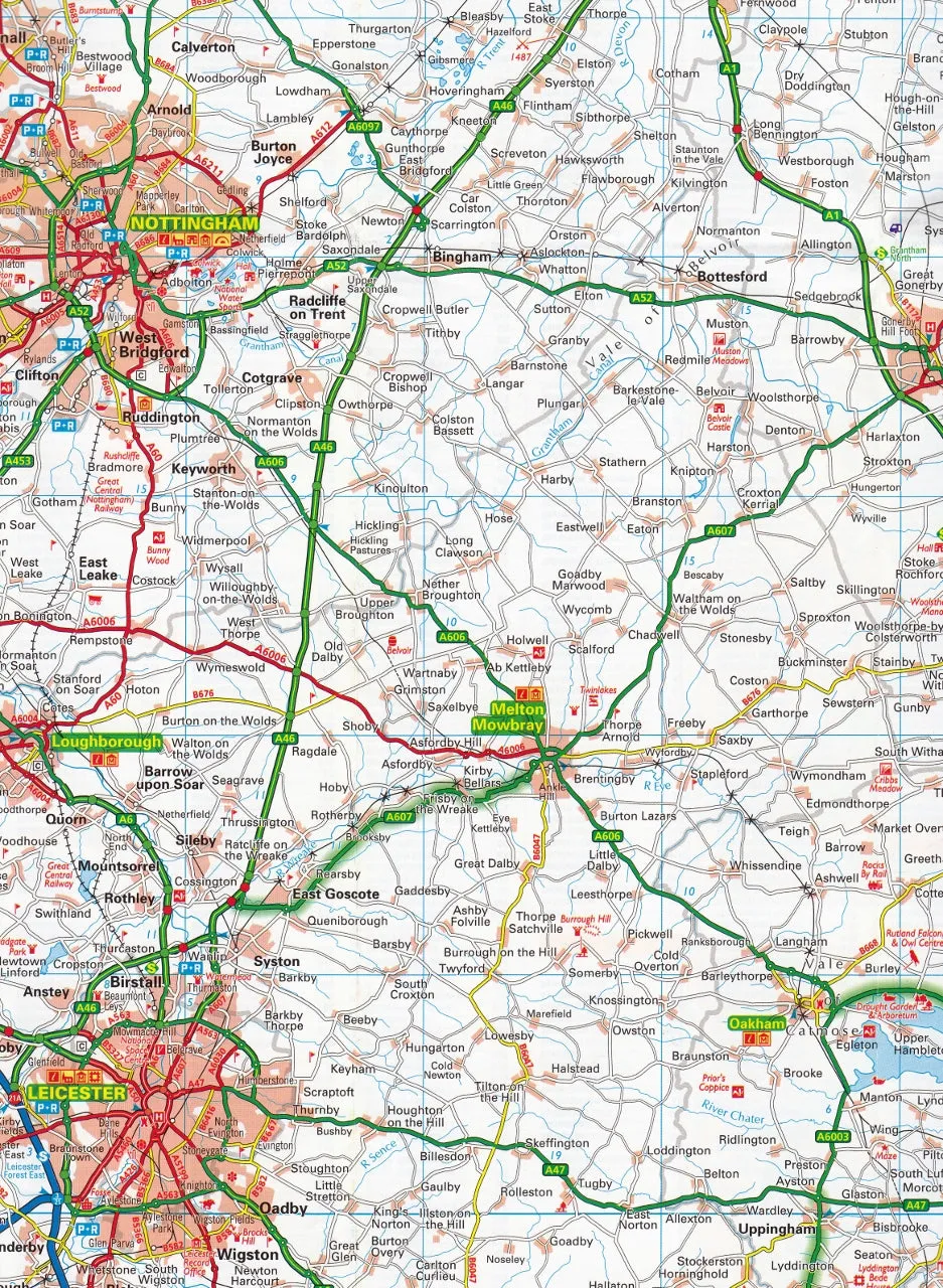
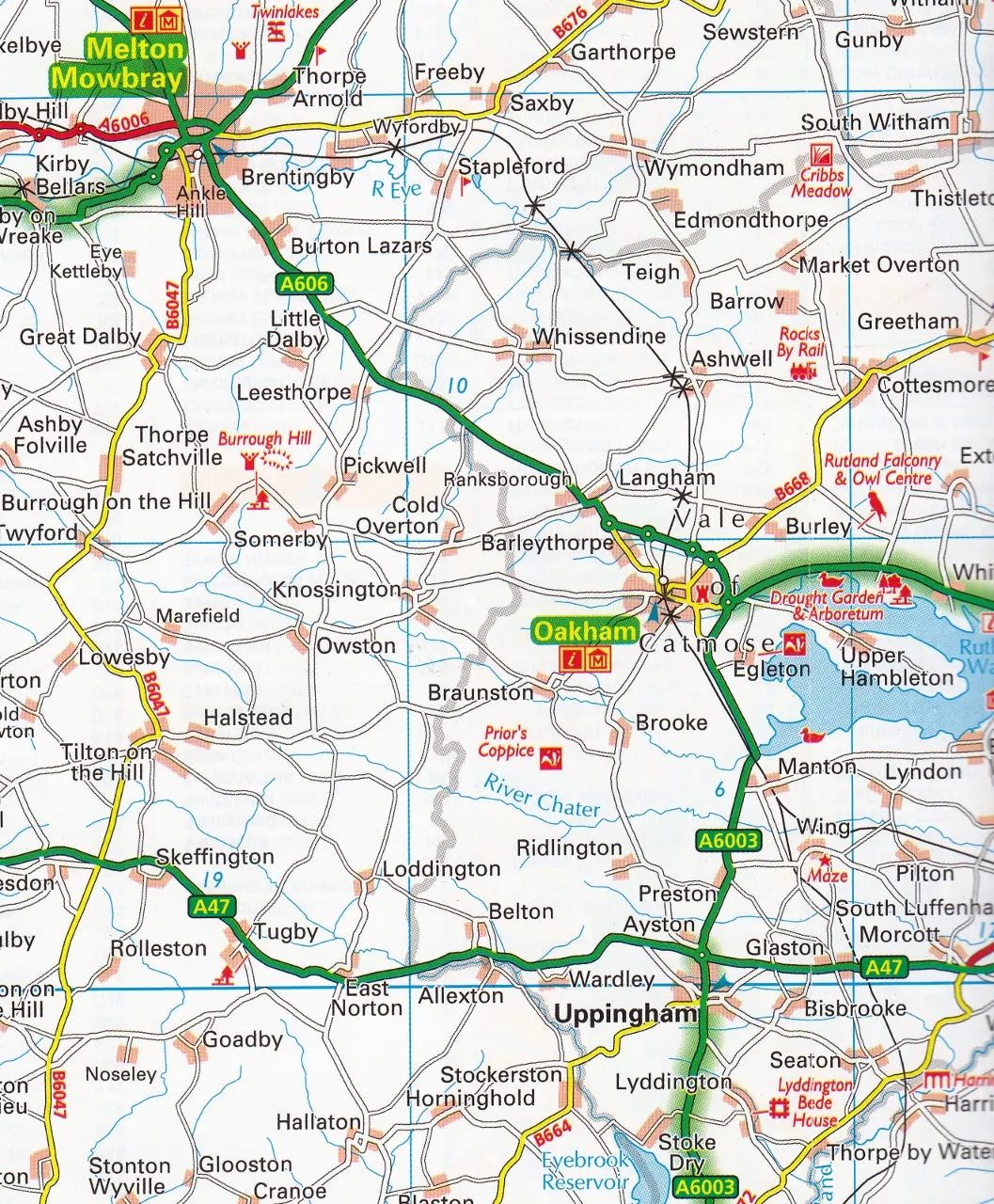
The Midlands & Central England by AA is a detailed and easy-to-read regional map. Encased in a durable, weatherproof cover, the mapping is produced at a scale of 3 miles to 1 inch (1:200,000 / 2km to 1cm).
The map shows: toll points, service areas, road numbers, motorways, dual carriageways and wide narrow local roads, National Parks and other places of interest.
Map features:
- Fully updated speed camera locations, plus speed cameras with speed limits shown
- Clear place name index
- 8 city and town plans
- Caravan & camping sites are pinpointed on the mapping
- National Parks and places of interest are also highlighted
- National Trust, English Heritage, Scottish and Welsh Heritage sites shown
Incorporates CBD plans of: Birmingham, Derby, Leicester, Cheltenham, Coventry, Milton Keynes, Nottingham & Wolverhampton.
This map covers the popular tourist area of the Cotswolds.
Format: Paper folded
Scale: 1:200,000
Size: 1200 mm x 980 mm
Published: 2024


")


